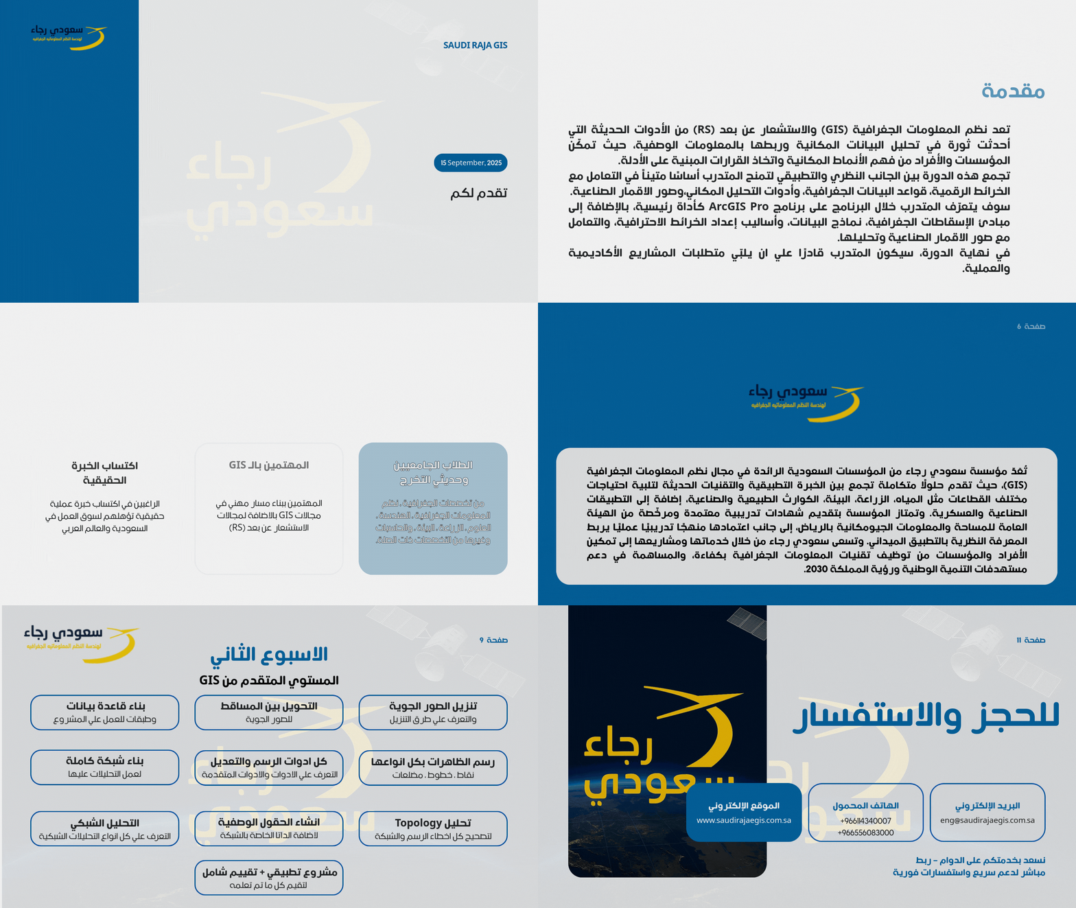
 Specialized Training Courses in Geographic Information Systems (GIS) and Remote Sensing
audi Raja Foundation offers specialized training courses in Geographic Information Systems (GIS) and Remote Sensing, aiming to equip trainees with the theoretical knowledge and practical skills needed to work professionally on geospatial projects. The training courses include hands-on applications using the latest software and tools, along with real-world exercises inspired by field projects. You can learn more about our latest courses through the presentation in front of you.

Course Highlights: Expert instructors with hands-on field and academic experience in GIS & RS. Comprehensive curriculum covering fundamentals to advanced applications. Real-world projects to apply acquired skills. Recognized certifications to enhance career opportunities. Tailored training programs for individuals and organizations. Interactive learning environment for knowledge exchange. Post-course technical support and consultation to ensure growth. Practical training on software such as ArcGIS Pro, QGIS, ERDAS, ENVI. Applications in satellite image analysis and spatial data processing. Project-based learning tailored to market needs. Provision of both digital and printed training materials. Continuously updated content aligned with industry trends. Accredited Certificate of Competency upon passing final evaluations.
- Specialized Training Courses in Geographic Information Systems (GIS) and Remote Sensing
- Specialized Training Courses in Geographic Information Systems (GIS) and Remote Sensing
Specialized Training Courses in Geographic Information Systems (GIS) and Remote Sensing
rate us
Respect and Integrity Creativity, Innovation Teamwork and Confidence Professionalism
Vision
Our vision is reflected in our constant work to achieve a high-profile position at the forefront of offices specialized in Geographic Information System.
the message
We strive to create a successful and sustainable relationship with its customers by providing expectations

